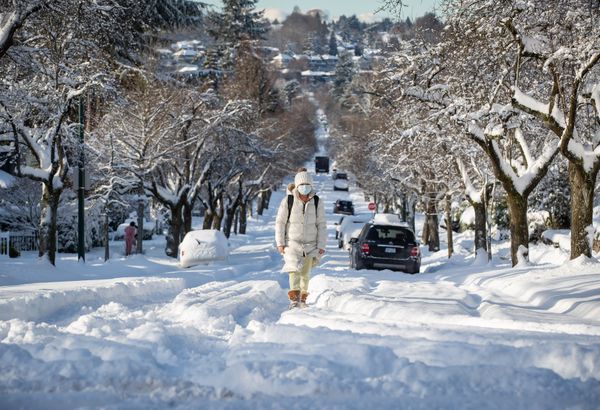
After 21 centimetres had fallen overnight in Vancouver, a woman dressed for the cold walks up a snow-covered street.DARRYL DYCK/The Canadian Press
Environment Canada advises British Columbia residents to be prepared for extreme cold. It is expected that the cold will return to northeastern B.C. overnight.
According to the weather bureau, this will bring windchill values of minus 45 which will continue until the end the week.
Snowstorms are expected to continue, with Highway 3 from Paulson Summit towards Kootenay Pass expected to receive between 40-60 cm of snow during the day.
According to the weather bureau, the Fraser Canyon, Lyton and Merritt will receive 50 cm of snow. Meanwhile, the Coquihalla Highway linking Hope and Merritt could see 30 cm.
Environment Canada has issued a wind advisory for East Vancouver Island. It cites winds up to 90 km/h which could cause damage.
It is expected that the Fort Nelson area will experience a prolonged period of very cold winds, with wind chill values below 45. This will continue until the end of next week.
